


Description
You may also like
New Arrivals

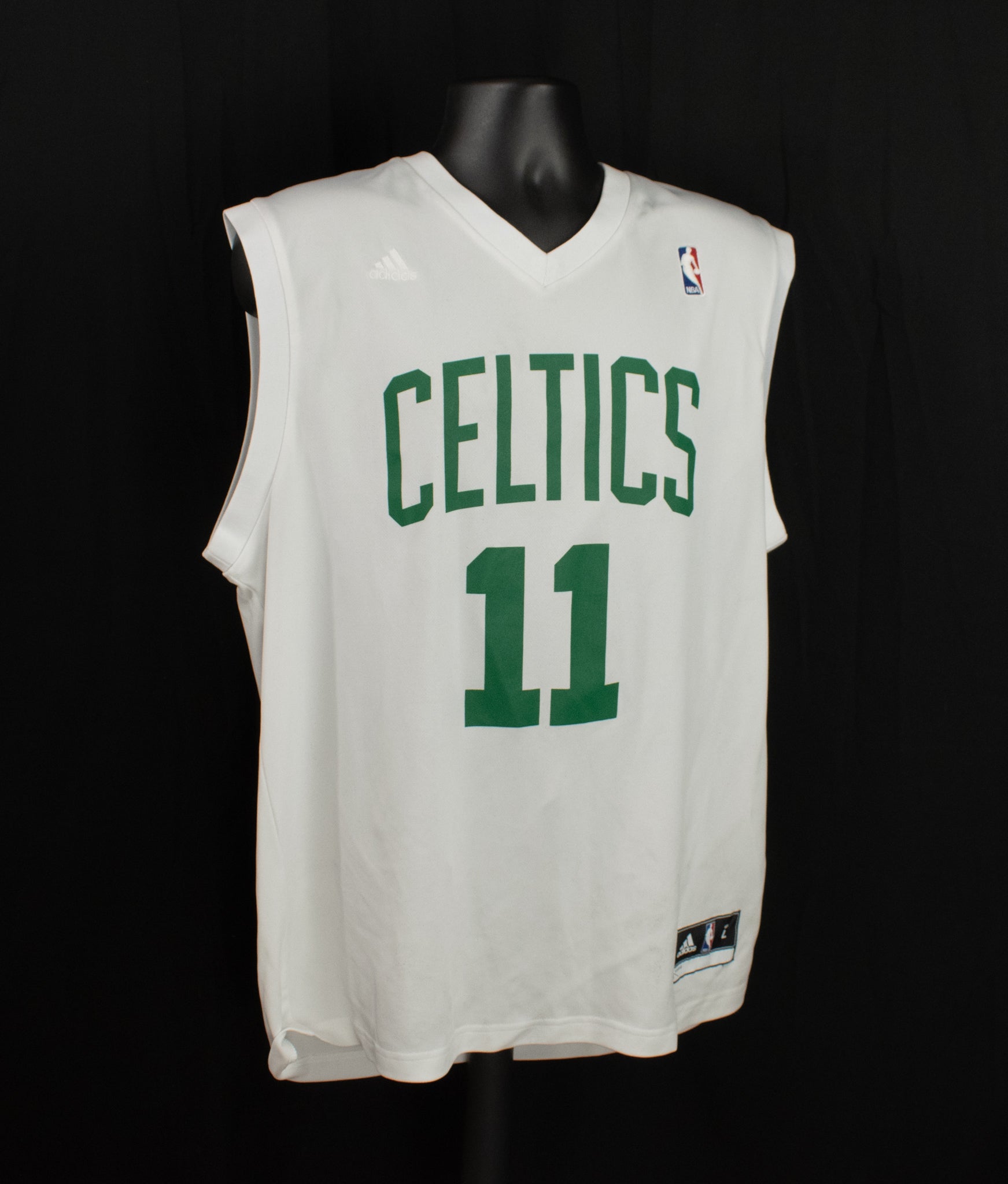
Boston Celtics Adidas NBA Jersey White Pullover Kyrie Irving 11 Basketball 2017
Sale price$55.00
Only 1 left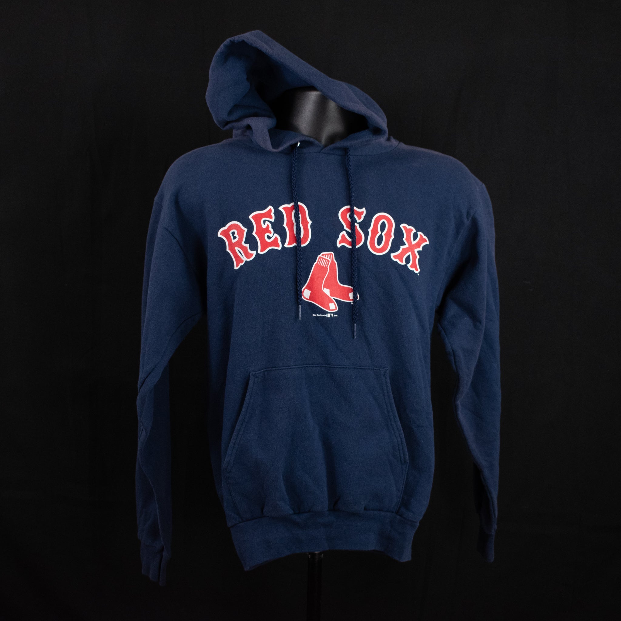
Boston Red Sox Blue Sweatshirt Hoodie Adult Small MLB Authentic Vintage
Sale price$25.00
Only 1 left
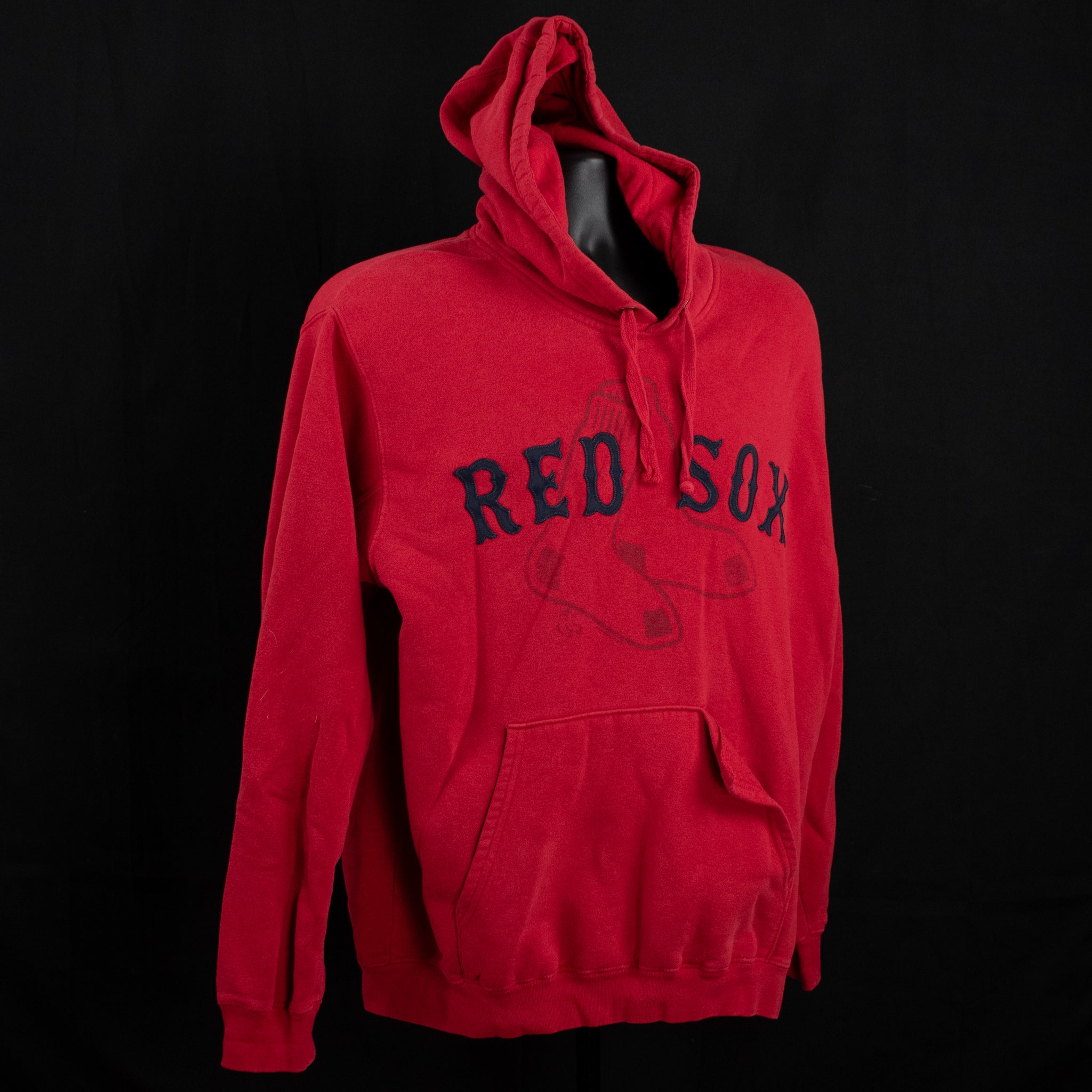
Boston Red Sox Red Sweatshirt Authentic MLB Hoodie Adult Large Genuine Merchandise
Sale price$23.00
Only 1 left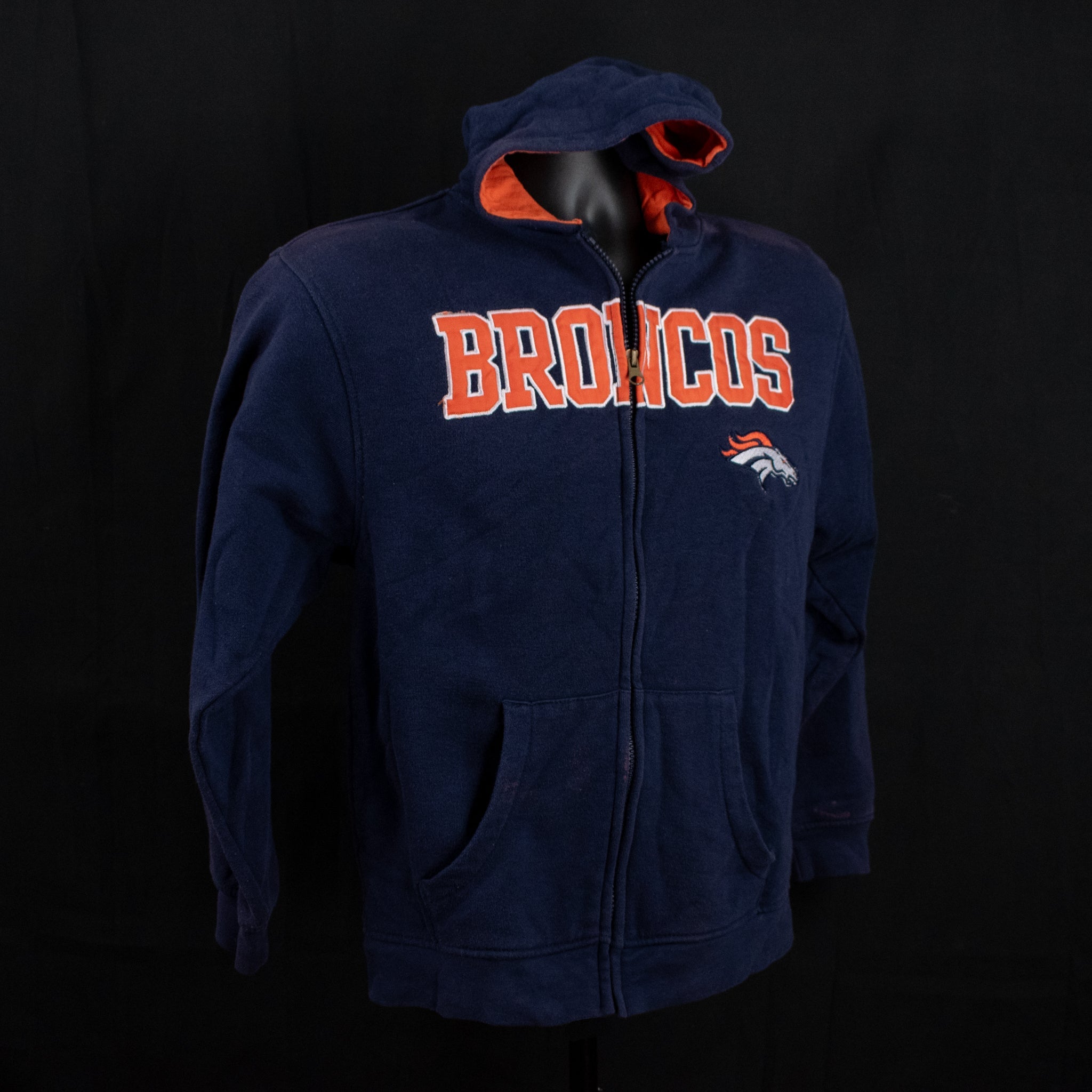
Broncos Sweatshirt Blue Hoodie NFL Team Apparel 14-16 Kids Large Youth Used
Sale price$55.00
Only 1 left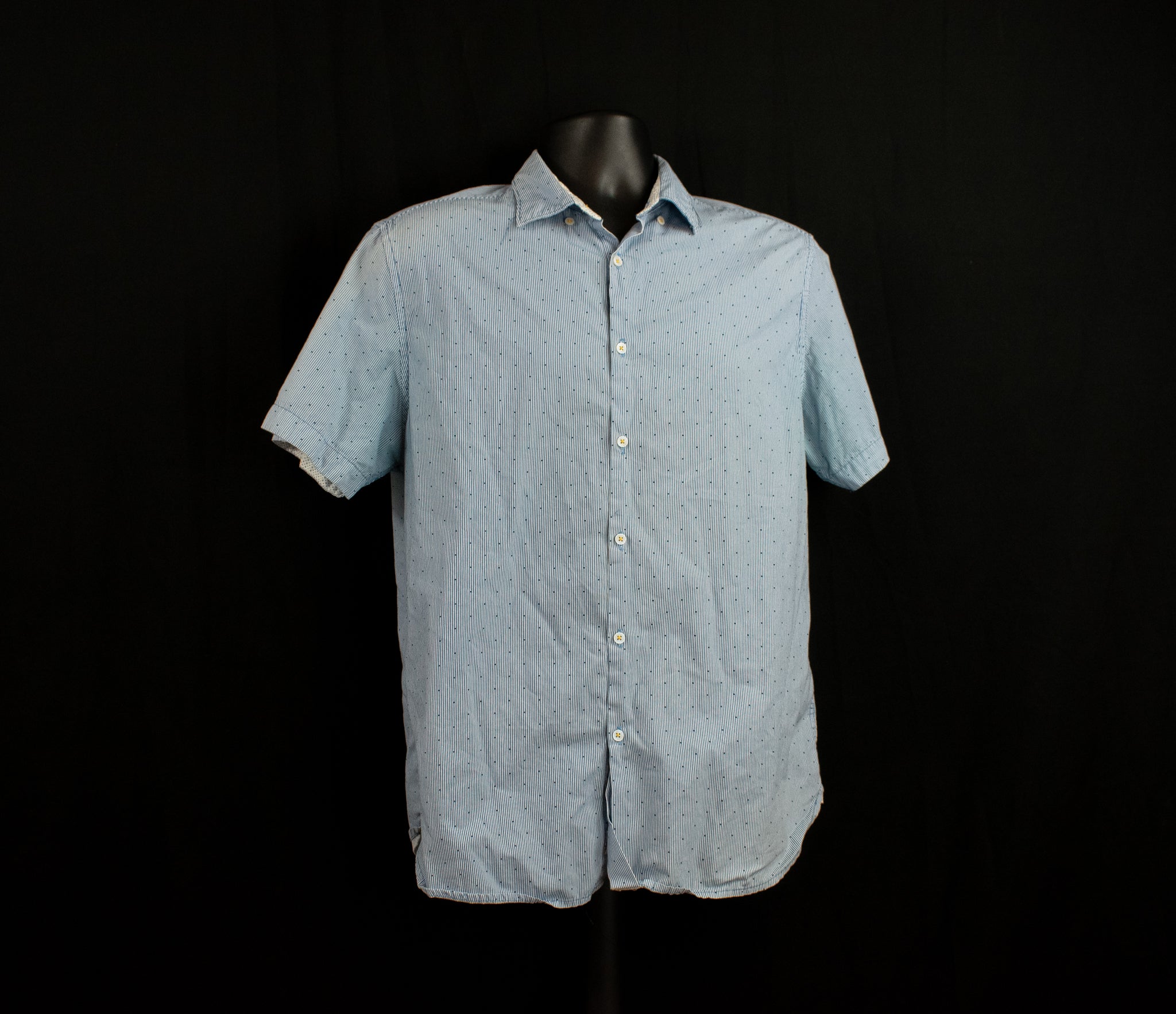
Cactus Man Dress Shirt Short Sleeve Mens Slim Fit Blue Large Button Up Shirt Rickey Singh
Sale price$25.00
Only 1 left

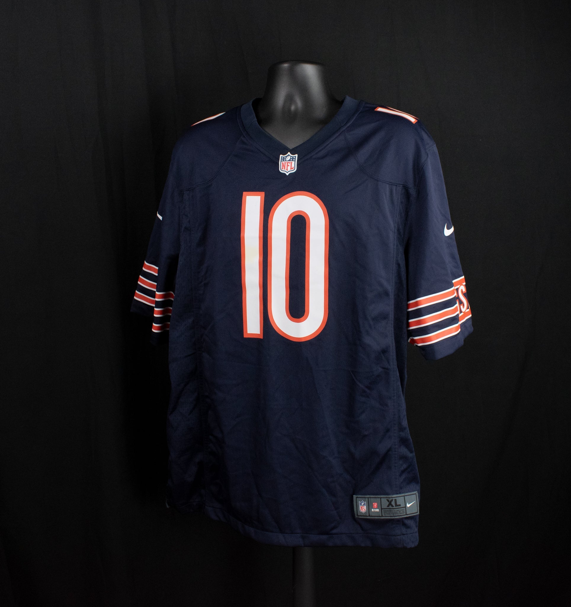
Chicago Bears Jersey Blue Nike On Field X-Large Adult NFL Jersey Mitch Trubisky #10 QB
Sale price$25.00
Only 1 left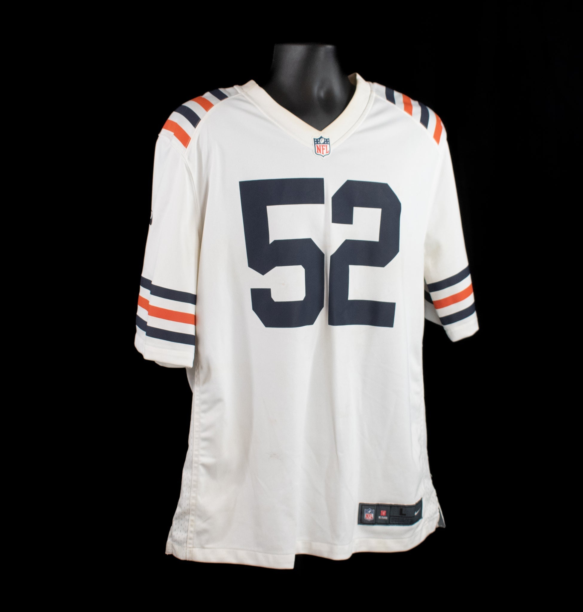
Chicago Bears On Field Nike White Jersey Khalil Mack 52 NFL Football Large
Sale price$25.00
Only 1 left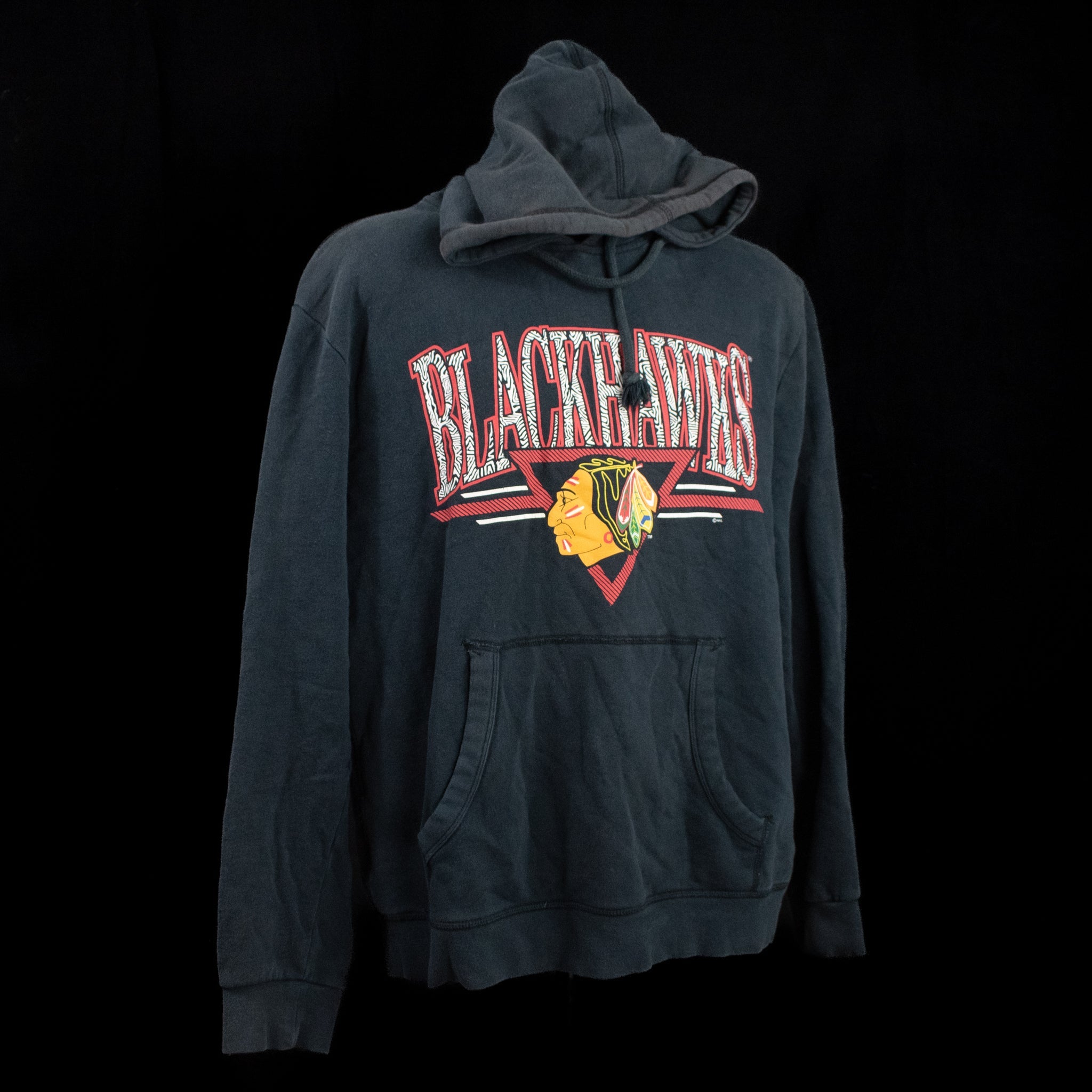
Chicago Black Hawks Black Sweatshirt Kids XL 18-20 Female Small Mitchell and Ness Authentic
Sale price$55.00
Only 1 left